

Services
GIS Analysis, Web Application Development, and Animation
BTMaps has extensive experience with ArcGIS Desktop, Server, and a variety of other GIS systems and tools. GIS analysis can be customize to your requirements. Please submit a request through the contact page to get started.
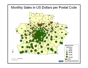
Basic sales analysis
Monthly sales in US dollars per postal code
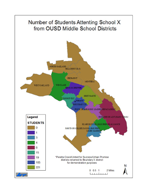
Basic demographics
Number of students in school districts
GIS application development
BT Maps has expertise in GIS Web application development using a variety of online Geospatial API's such as Google Maps and ESRI JavaScript API
View sample GIS application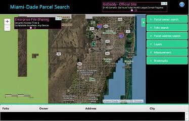
Animation
BT Maps can create custom animated maps and Geospatial visualizations. Please submit a request through the contact page to discuss animations suited to your needs.
View sample animations